
Walk It! Bike It! Lewisburg, has begun to identify priority issues, some of which center on Awareness and Advocacy and some of which focus on proposing Improvements to be made to local infrastructure. The lack of an established base map hinders the group on all fronts. It makes it harder to increase awareness of needs and convey the importance of the concerns to elected officials. It even makes it difficult to decide among the long list of possible projects how best to move forward incrementally. A map would help significantly.
A map would be of use for long term planning and organizing purposes, allowing for analysis and demonstration of issues. In addition, a map could be of great use to the general public as a means of understanding the current accommodations for pedestrians and cyclists and figuring out how best to make use of them.
WIBI is working with Union County Planning and GIS to develop this resource. It is to be created in GIS and will be a working digital resource but will also be suitable for print or pdf output for different uses. Because of the different scales of biking and walking, it is expected to frequently be framed in distinct ways/scales, one for walking more focused on the Borough, Linntown, and the Bucknell campus, and one for biking that would extend North to the dogleg in Hospital Drive, South to Beagle Club, east to route 405 and west to Hoffa Mill Road. There is even interest in more of a “century ride” scale map that would extend as much as 50 miles in all directions.
The map will include the following base information:
- Road centerlines
- Off-road paths: rail trail, D/E/W, riverwalk
- Existing established routes – V, caring for communities routes, bicentennial routes
- Property lines
- Building footprints (especially to the extent possible in NU County)
- Vegetation
- Waterways
- Municipal boundaries
- Road names
- Aerial underlay
In addition, to the extent possible, it is the ultimate goal of the document to eventually contain information about the following:
- Details of public ways
- Road edges
- Limits of Rights of Way
- Parking
- Sidewalks
- Crosswalks (marked)
- Crosswalks (unmarked)
- Curbcuts
- Drainage grate placement and orientation
- Signals/signalized intersections
- Pedestrian signals
- Campus walkways
- Character of the road
- Bikeability rating (for different user groups, e.g. minors v. adults)
- Walkability rating
- Condition of surface (sidewalk or road or shoulder)
- Paving types – at least call out gravel/paved surfaces
- Grade (slope) along “acceptable” routes
- Speed limits
- Jurisdiction (e.g. over signals at shared intersections and distinction between state and local roads)
- Amenities
- Bike racks
- Public rest rooms
- Ice cream and other refreshments
- Bike shops
- Shoe stores
- Context
- 5 minute walking and biking radii (¼ mile and 1 mile, respectively) from 3rd and Market, Public Library, Linntown/Eichhorn and Soldiers Memorial Park
- Public spaces
- Points of interest/destinations – institutions and businesses
 (Other possible items that might be of interest in a map though not specific to walking and biking: hydrants, street signs, bridges, guardrails, street trees)
The map will become a resource to incorporate information not currently noted in graphic form about the categories of streets (highway, collector, residential) and the potential for enhancing the bicycle and pedestrian network’s functionality.
Ultimately a layer would be added with commentary and notes about issues and sites of concern. If it is possible to key in additional information such as photographs, either gleaned from local collections or using streetview for reference, the resource could be used as a story map as well.
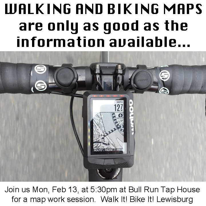
What else should we be thinking about as we work on this project? Feel free to reply in comments or email or call the LNC. We will be holding a map mark up session that is open to the public on Monday, Feb 13, at 5:30pm, at Bull Run Tap House. We will be in the back room, formerly known as Purseil's. People attending are invited to visit the bar to make it a real Happy Hour.