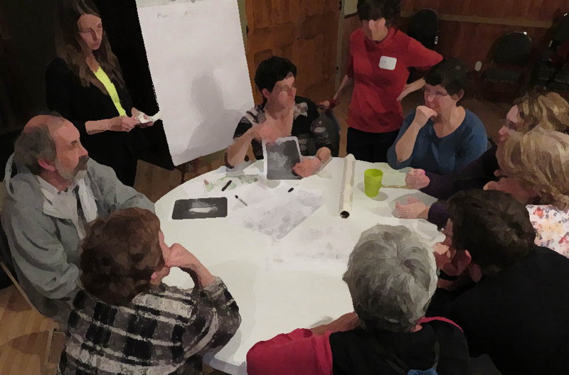
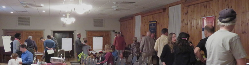
Last week's River Town Planning Charrette has come and gone, but you may be wondering how it went. It was a productive and informative evening. Thanks so much to all who were able to attend. We started with pizza, as advertised, and a presentation setting the stage for the discussion. That laid out which sites were under discussion and reviewed both their long term and more recent history, as well as the history of the river town effort. It also included some initial analysis of the 200+ surveys received as of the day of the charrette -- and submissions are still welcome. The slide show and a synopsis of the presentation are now available here.
A recurring theme in the presentation was the consideration of what happens when we choose not to plan. In some cases, there may be a desire to keep things the same, and a mistaken impulse to do nothing -- but what we could see in the images was that doing nothing is very much a decision and one that rarely results in things staying the same. In the context of the public land along the river, it often means fewer trees, less habitat, and a less welcoming space ultimately. The presentation also asked those present to consider the former intensity of uses along the river and see the vacation of those mostly industrial uses as an opportunity rather than simply a deficit -- a sign of how prone to flooding those parts of town were and still are. And the key to everything was figuring out how to turn the river town experience from insider knowledge into accessible and welcoming space. The final major point to the presentation was an invitation to recenter the town and really see the river as a center, rather than an edge. In that context, we have a wealth of options within easy walking distance, whether that's the campus and the downtown or more rural sites like the Fence and May's -- we just need to reconceive of that walk.
- What’s special about this place?
- What are its drawbacks?
- How many trees have been planted on this site in the past 5 years? How many trees have been cut down?
- What do you know about the history of the site?
- Is it more of a civilized place or a natural place?
- How does it connect people to the river and to the natural world? How does it keep them separate?
- Who currently visits/uses this site? How might we expand that? Consider both people and other creatures.
- How could the current uses be better supported? How could a wider range of uses be accommodated?
- Is it part of events, recreation, education, business? If not, could it be? Should it be?
- How does it connect or could it connect to the town? To the river? And to the region?
- Is this a site for something expected -- familiar/predictable/reassuring -- or something innovative?
People shared lots of great insights and the ideas really built on each other. A more complete accounting of the results is now in the works and will take some time. First we'll compile all the notes. Then the volunteer designers/facilitators will convene to synthesize everything into a set of options. And then we'll be coming back to the Borough and to you, the public, for more input.
Even if you weren't able to attend, we'd still love to hear from you. Feel free to reply to these questions for any or all of the sites we're looking at. And if you haven't yet completed the River Town Survey, please do: you can either pick up (and drop off) a copy at the Borough Office or do it online here.
Thanks to all who made this process possible this spring: Bucknell seniors in Environmental Studies 411, Amanda Fazio, Traci Eschbach, and Meghan Reilly; our fearless facilitators, Brian Auman, Dina El-Mogazi, Kim Wheeler, and Ted Strosser; and those who helped fortify us for our long and active evening, Bucknell University and Giant.
