(this section is now up to version 4.3)
This may be useful to you for reference in filling out portions of the SEDA-COG MPO Long Range Transportation Plan - 2021-2045.
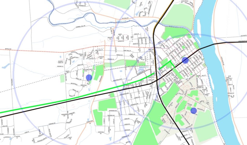
Walk It! Bike It! started out in 2015 by doing a SWOC analysis and developing a list of priorities, in three categories: awareness, advocacy, and improvements. The group has continued working in the ensuing years to assemble input from the public to update those priority lists. The full list, including both the current awareness and advocacy topics, as well as the improvements, can be downloaded here as a pdf. This post serves as a snapshot of the current status of the improvements list, which itself has multiple subcategories, reflecting the nature of the issues and the jurisdiction (local municipalities or state/PennDOT). Take note that while the intersections with PennDOT involvement are their own category, the non-intersection issues are all mixed together, with the PennDOT-involved ones marked: (PD). The next step for this list is to be transformed into a map as a key part of the bike/ped audit we are gradually completing for the community.
KEY:
- Bold and _bracket underlined_ — top priority
- Bold — high priority
- Plain text — priority
- Italics — listed but low priority
Priority ranking of intersections involving PennDOT
- _Rail trail crossing of Rt 15_
- _15/45_
- _Rail Trail/Fairground Rd_
- 15/St Mary St
- Market St/Water St.
- Beagle club/15
- 45/Fairground Rd.
- St Mary St/Fairground Rd.
- Rt 45 crosswalk by Linntown/Eichhorn
- 45 and Fairfield Rd.
Listed but lower priority: Newman Rd/William Penn Dr; 15/192; River Rd/15; Newman Rd/Hospital Dr; Rt 45/Rt 405; 45/15th St
Priority ranking of intersections that do not involve PennDOT
- Stein Lane/Jefferson
- Stein/Monroe
- To and From 15/45 on EBT side
- Mary crosswalks from Penn House Commons
- Anthony/Water
Listed but lower priority: St. Mary/Reitz; Rail Trail/ St John/5th; Pheasant Ridge/Salem Church Rd
Non-intersection issues
1. _ Stein Lane Corridor_
2. _RR bridge over river_
3. Traffic calming at the bridge (PD)
4. Connections beyond the Borough north on Union County side of river (PD)
5. Bridge at St Anthony/River Rd (PD)
6. Airport Rd Bridge (PD)
7. Paths across the Bucknell fields from Linntown (and along Golf Course)
8. Former south end of Water St
9. Connection to Northumberland County (PD)
Listed but lower priority: Ped signal problems, design, function, etc. (PD); Better signage options for pedestrian zone (PD); RiverWoods/River Rd Crossing (PD); Connect from Market St to Bucknell Campus to replace the RR bridge trespassing; Creating a marked route along the river within and just beyond the Borough; Loan Rd crossing; Connections beyond the Borough south on Union County side of river; Bike Sensors at signals (PD); Schoolhouse Rd (speed and trucks); Salem Church Rd; Hafer Rd RR ROW connector